Bordenschouw
Map every traffic sign: take a photo, AI reads the sign, you check it.
Purpose
Inspecting a sign means recording which sign is where, in what condition and with what text. Bordenschouw makes that quick. You take a photo, crop the sign, the AI proposes the sign type, condition, text, rate and hours, and you confirm.
Location and direction come from live GPS and compass during a round, or from the photo itself. There is also a walking mode in which the app takes photos by itself while you walk.
Why
An up-to-date overview of signs is hard to get and takes a lot of manual work. I wanted to find out how far you get with a phone, a photo and AI recognition, and where a human is still needed.
Data
The app knows 172 Dutch traffic sign drawings as reference. The signs on the map and dashboard are example data. Photos stay on your device. Only the crop of the sign goes to the AI, and the app warns when people or number plates seem to be in view.
What you can do with it
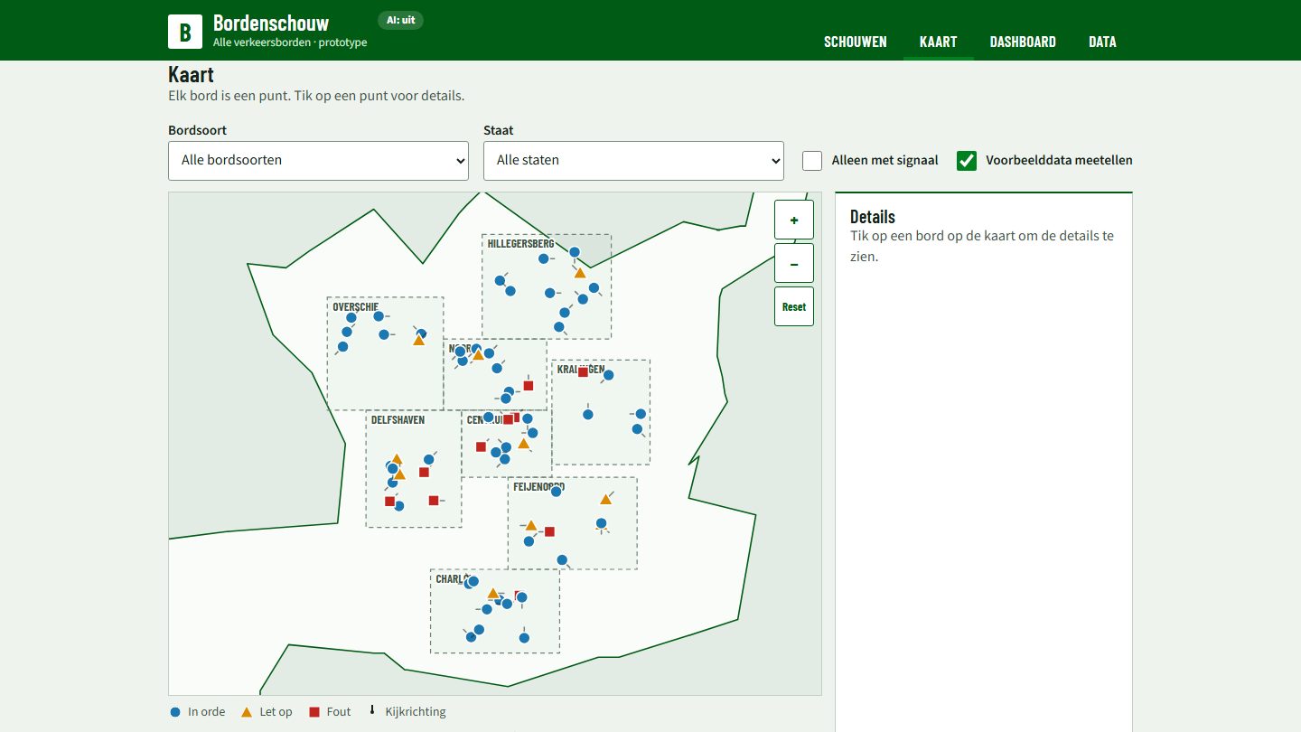
Capture signs, see them on a map, view a dashboard with condition per sign type and per area, and export as CSV or GeoJSON. Signals, such as a sign that is plastered over or faded, stand out right away.
For other organisations
The same approach suits any organisation that has to inventory or inspect things in public space, such as signs, street furniture or markings. The export makes it possible to load the result into existing systems.
Status and next steps
This is a prototype. For now use it only with test photos. The areas on the map are schematic, not official.
Further use needs a privacy and security review, a choice of AI service that fits the organisation’s rules, and a link with the existing sign register.